← Back
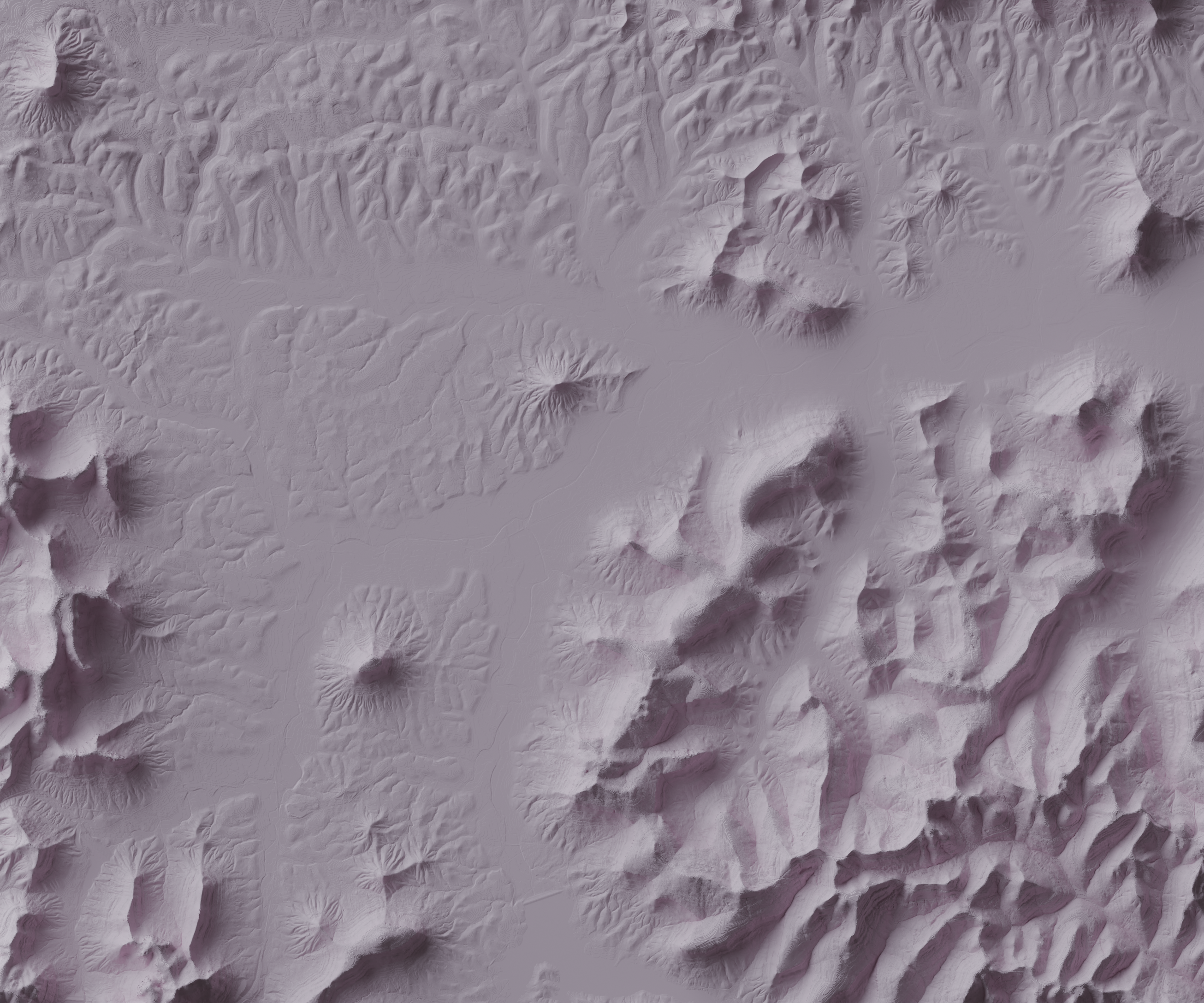
Appalachian Foothills

Description: These maps were created from real geospatial data, showing a small area near the entrance of my favorite area to hike: The Pinnacles, in Berea, KY, a 40-minute drive from where I grew up. Both maps are the same area. The bright pink has exaggerated terrain — just part of my experimentation in Blender.
Data source: USGS
